Veronique Nell, vice-president of products and solutions with PhotoSat discusses her company’s work using satellite imagery to produce geospatial surveys and maps for mining clients. Nell spoke with Northern Miner staff reporter Henry Lazenby at AME in January.
Video: Mapping out the mining landscape with PhotoSat
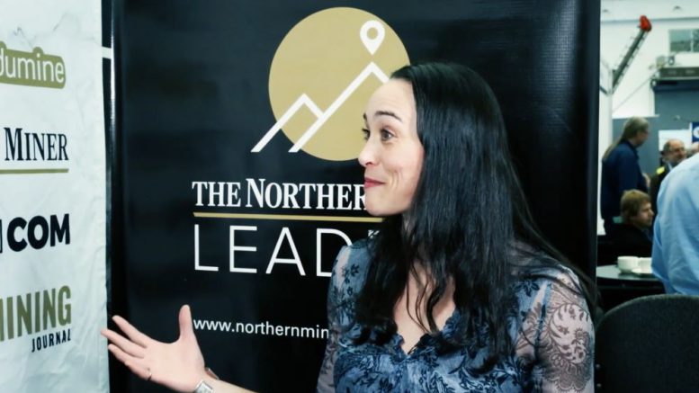 Veronique Nell, vice-president of products and solutions with PhotoSat at AME in Vancouver in January.
Be the first to comment on "Video: Mapping out the mining landscape with PhotoSat"