Satellite imagery and machine learning are helping miners narrow drill targets, cut extra field time and make earlier calls on where to spend exploration dollars, PhotoSat president Andrea Krupa said.
Vancouver-based PhotoSat, founded in 1993, uses stereo and multispectral imagery plus deep-learning tools to produce elevation surveys and alteration maps for mine sites and exploration programs. The company has used convolutional neural networks since 2014 to help clients screen large areas faster before field crews head into the field.
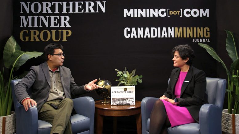
“Boots on the ground is absolutely necessary,” Krupa told The Northern Miner’s video anchor, Devan Murugan early this month during the PDAC event in Toronto. “But those boots on the ground can be deployed much more efficiently and in a much more targeted way.”
Since 2005 PhotoSat has delivered more than 1,300 mine-site surveys and over 300 alteration projects in more than 75 countries. The shift points to a more practical use of AI in mining: ranking targets, repeating workflows and stretching scarce technical labour rather than replacing geologists.
Watch the full interview below:
The preceding Joint Venture article and video are PROMOTED CONTENT sponsored by PhotoSat and produced in co-operation with The Northern Miner. Visit: https://www.photosat.ca for more information.


Be the first to comment on "Sponsored Video at PDAC: PhotoSat data helps miners deploy crews faster"